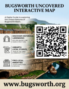
Step Back in Time
Uncover the secrets of the UK’s most historic inland port. Whether you’re standing at the Lime Kilns or walking the Wharf, this interactive map is your personal guide to the artifacts and stories that built the village.
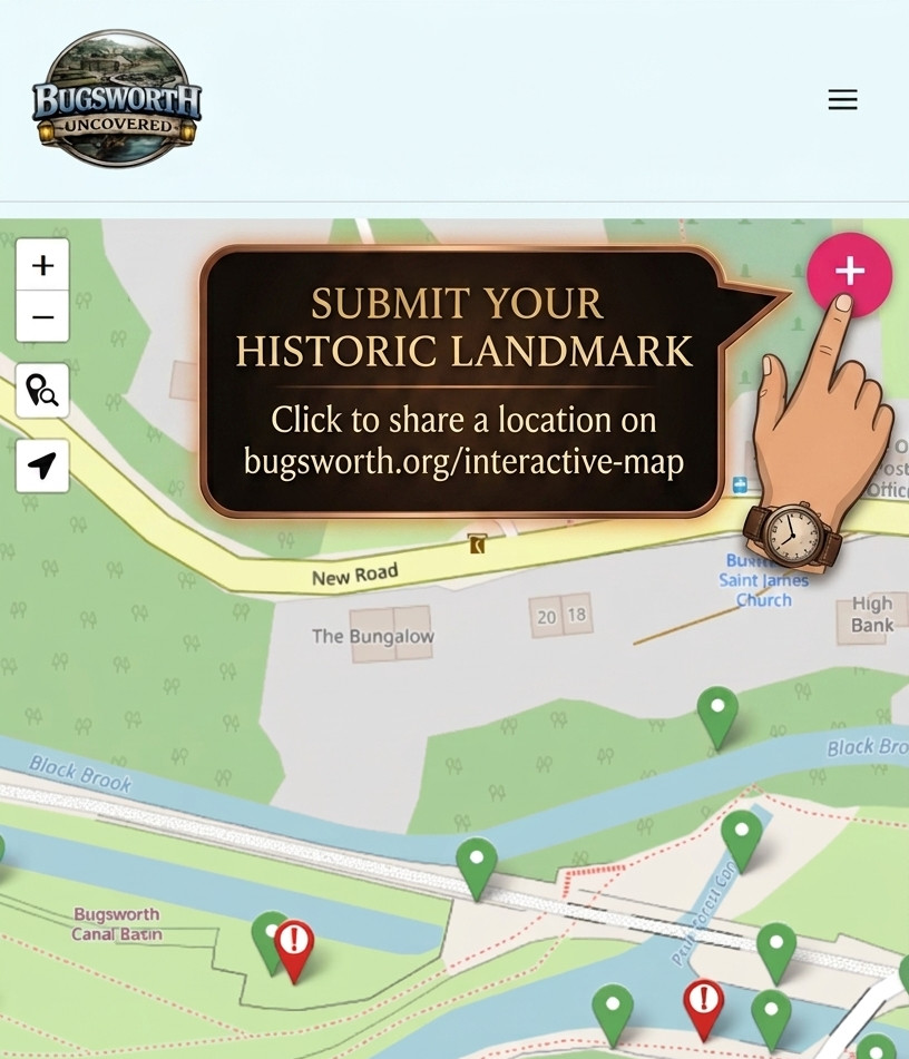
✨ Be a part of the map!
Found a hidden detail or a great view? Register here to submit your own points of interest. While we can’t add every suggestion, we love integrating community findings to help Bugsworth Uncovered grow.
Tips for your walk:
Mapping the history of Bugsworth Basin
Welcome to a community-led project to create the first digital history map of Bugsworth Basin (or Buxworth) and our surrounding village. We built this resource to help hikers canal lovers visitors holiday makers and local historians find their way around the basin’s unique landmarks.
From the Peak Forest Canal terminus to the Lime Kilns and Wharf ruins, we’ve tried to capture the stories and tramways that make the High Peak’s industrial heritage so special.
This map is a work in progress and a real labor of love. Whether you’re here for a guided walk or curious about narrowboat history, we hope this guide helps you enjoy your time at this Scheduled Ancient Monument.
Click on the image to print a flyer and spread the word!